A group of people who live and work here have come together to develop a plan for housing, countryside, transport, jobs, energy, conservation and anything else which will help create a positive future for our neighbourhood.
The first step is to decide what our neighbourhood is!
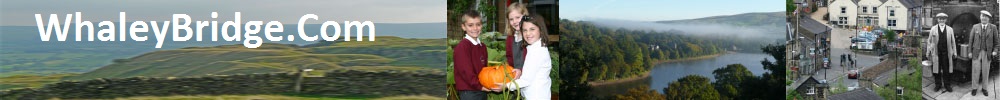
Whaley Bridge Town Council has submitted a Neighbourhood Area application to both High Peak Borough Council and the Peak District National Park Authority. This means it intends to prepare a neighbourhood development plan for the parish, an area that covers Whaley Bridge and Furness Vale and includes areas within the Peak District National Park.
As part of its application, the Town Council has submitted a proposed boundary for the neighbourhood plan and a supporting letter. These documents constituting Whaley Bridge Town Council’s Neighbourhood Area application are available to view at the Mechanics Institute, Market Street Whaley Bridge, Whaley Bridge library and High Peak Borough Council offices in Buxton and Glossop.
The choice of the area the plan will cover are now open to public comment.
To see the area map and to have your say see link here
This poster, a formal requirement, will appear on town notice boards:
